Sanasto (englanti)
Some of the interface text in Estonian and Finnish is machine-translated
| Termi englanti | Termi venäjäksi | Termi viron kielellä | Termi suomeksi | Termin merkitys | Valokuva |
|---|---|---|---|---|---|
| Baltic Ice Lake | Балтийское ледниковое озеро | Balti jääpaisjärv | Baltian jääjärvi | A freshwater lake that gradually formed in the Baltic Sea basin as glaciation retreated from that region at the end of the Pleistocene. |
|
| Bank | Банка подводная | Madalik | Penkka, matalikko | Elevation over which the depth of water is relatively shallow but normally sufficient for safe surface navigation. |
|
| Barforms | Бар подводный | Liivavallid | Hiekkamuodostuma, Särkkä | Sandbanks, sandbars; elongate features comprised of unconsolidated sediments formed within or along the margins of tidal channels and shelf seas. |
|
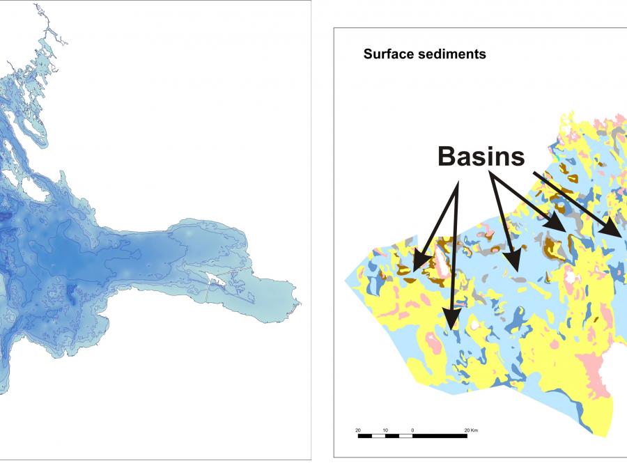
| Basin | Впадина | (Ookeani)bassein | Allas | Depression, more or less equidimensional inplan and of variable extent. |

|
| Bathymetric Position Index (BPI; also Topographic Position Index, TPI) | Индекс позиции рельефа дна (в русском варианте не употребляется) | BPI, sügavusasendi indeks | BPI, Syvyyssuuntaisen sijainnin indeksi | Difference in seabed depth between a central grid cell and the mean of its surrounding cells. |
|
| Bathymetry | Батиметрическая съемка | Batümeetria | Syvyysmittaus, vedensyvyys | Study and mapping of seafloor elevations and the variations in water depth; the topography of the seafloor. |
|
| Bay | Бухта | Laht | Poukama, lahdenpoukama | (1) Small indentation ~gulf, separated by capes or islands from main reservoir and possesing specific quality of inner hydrodynamic mode; (2) Synonym of small shallow-water gulf, often just far into the land or partially separated from the open sea (3) A large tract of water that penetrates into the land and around which the land forms a broad curve. By international agreement (for purposes of delimiting territorial waters), a bay is a water body having a baymouth less than 24 nautical miles wide and an area that is equal to or greater than the area of a semicircle whose diameter is equal to the width of the baymouth.(Glossary of Geology) |
|
| Beach | Пляж | Rand | Ranta | (1) A deposit of non-cohesive material (e.g. sand, gravel) situated on the interface between dry land and the sea (or other large expansion of water) and actively "worked" by present-day hydrodynamics processes (i.e. waves, tides and currents) and sometimes by winds; (2) The zone of unconsolidated material that extends landward from the low water line to the place where there is marked change in material or physiographic form, or to the line of permanent vegetation. The seaward limit of a beach - unless otherwise specified - is the mean low water line. A beach includes foreshore and backshore; (3) A zone of land, the upper part geological section and topographic form which are formed or altered by sea at its current middle level. The border of the coast from the sea side is in phase with the shoreline. The border of the land site on the valley erosion coasts is on the berm crest cliff (abrasion scarp), and at the accumulation coasts - on the bern crest of the first actual-water terrace or at the inner edge (base) of the foredune . Beach is divided by the lower part (in English literature with the drying zone - foreshore or beachface), constantly under the influence of excitement and the upper, only occasionally affected by storms (usually accompanied by surges; backshore); (4) An elementary form of accumulative sediment, formed in the surf zone. The lower boundary of the beach is the middle position of the water line at low tide. There are two types of beach – leaning and free. There are several types of beach: sandy beaches, boulders, pebbles, shell rock, etc.; (5) Place for rest which has lifeguards or trappings of modernity nearby, such as resorts, camps and hotels and good water quality. Such beaches can be valued for comfortable rest and having for their infrastructure. |
|
| Beach Seine | Закидной невод | Kaldanoot (kalandus) | Rantanuotta | Is a fishing gear used commonly in coastal fish surveys. Beach seine is a long fishing net that hangs vertically in the water with its bottom edge held down with weights and its top edge buoyed by floats. There may be a bag extending back from the centre of the nets length to increase capture efficiency. . The seine may be set by wading in the water or from a boat but hauled in from the land. Also called shore seine, drag seine, draw net, haul seine, yard seine and sweep net. |
|
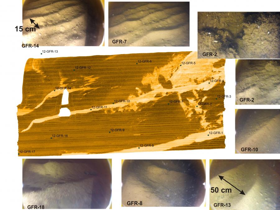
| Bedforms | Микрорельеф дна | - | Uomapohjan muoto, kerrostumamuoto | wave-like, flow-transverse features formed of unconsolidated sediments on the seabed. See also: Ripples, Dunes, Megaripples, Sand waves. |

|
