Глоссарий (анг)
Some of the interface text in Estonian and Finnish is machine-translated
| Термин на Английском | Термин на Русском | Термин на Эстонском | Термин на Финском | Значение | Фото |
|---|---|---|---|---|---|
| Sill | Порог | Künnis | Kynnys | Seafloor barrier of relatively shallow depth restricting water movement between adjacent basins. In oceanography, the sill depth signifies the depth of water that a water mass must achieve in order to pass between basins. |
|
| Skerries | Шхеры (шхерные берега) | Skäär (ka kaljulaid) | Luoto | Of coastal zone formed with the areas of glacial erosion and accumulation. Characterized by the presence of the many islands (archipelago) and share their shallow straits. The term skerry is derived from the Old Norsesker, which means a rock in the sea. The Old Norse term sker was brought into the English language via the Scots language word which is spelled skerrie or skerry. It is a cognate of the words for skerry – Icelandic, Faroese : sker, Danish: skær, Swedish: skär, Norwegian: skjær / skjer, found also in German: Schäre, Finnish"kari", Estonian: skäär and Latvian: šēra. In Scottish Gaelic, it appears as sgeir, e.g. Sula Sgeir, in Irishas sceir, and in Manxas skeyr. The word is also probably related to the Italian word scoglio, sharing the same meaning. |
|
| Slope | Склон | Nõlv | Rinne | Any inclined surface, generally less steep than a cliff or escarpment. |
|
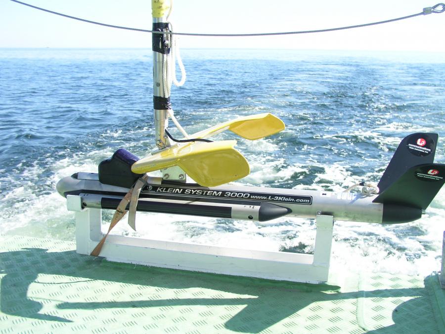
| Sonar | Сонар | Sonar | Luotain | Acronym derived from the phrase "sound navigation and ranging"; method or equipment for determining water depth by underwater sound and also the presence, location, or nature of objects in the sea and the character of the seafloor. |

|
| Spatial planning tool(s) | Методы пространственного планирования | Ruumilise planeerimise vahendid | Aluesuunnittelutyökalu | Methods to perform integrated analyses on spatial and other data from the area under development. |
|
| Spatial resolution | Пространственное разрешение | Ruumiline resolutsioon | Spatiaalinen resoluutio | Refers to the size of cells in a raster dataset at the current map scale. May range from low (>1000 m) to moderate (200-500 m) and high (0.5-25 m) and adequate resolution depends on the objectives of the study and on the scale of the analysis. |
|
| Spawning period | Период нереста | Kudemisperiood | Kutuaika | A defined time period when spawning occurs. |
|
| Species | Вид | Liik | Laji | A group of organisms all of which have a high degree of physical and genetic similarity, generally interbreed only among themselves, and show persistent differences from members of allied groups of organisms. |
|
| Species diversity | Видовое разнообразие | Liigiline mitmekesisus | Lajidiversiteetti | Biodiversity at the species level, often combining aspects of species richness, their relative abundance, and their dissimilarity. |
|
| Species richness | Видовое богатство | Liigirikkus | Lajirunsaus | Also "species diversity"; the number of species that occurs in an area. Seealso Biodiversity. |
